


 Home > NEWS > Other information > truck tracking webfleet solutions
source:truck tracking webfleet solutions release time:2023-06-01 Hits: Popular:realtime gps tracker online
The predecessor of the GPS system was a transit satellite positioning system developed by the US military, which was developed in 1958 and officially put into use in 64. The system operates on a satellite network consisting of 5 to 6 satellites, bypassing the Earth up to 13 times a day, and cannot provide altitude information, resulting in unsatisfactory positioning accuracy. However, the meridian system has enabled the research and development department to gain preliminary experience in satellite positioning and verified the feasibility of using satellite systems for positioning, laying the foundation for the development of GPS systems. Due to the enormous superiority of satellite positioning in navigation and the significant shortcomings of the meridian system in navigation for submarines and ships. The US military, land and air force, as well as the civilian sector, feel an urgent need for a new satellite navigation system.
To this end, the US Navy Research Laboratory (NRL) proposed a global positioning network plan called Tinnation, which consists of 12 to 18 satellites at an altitude of 10000 kilometers. In 67, 69, and 74, one experimental satellite was launched, and the atomic clock timing system was initially tested on these satellites, which is the foundation of precise positioning of the GPS system. The US Air Force, on the other hand, proposed a plan for 621-B to consist of 3 to 4 star clusters consisting of 4 to 5 satellites per cluster. Except for one of these satellites using a synchronous orbit, all other satellites use a tilted orbit with a period of 24 hours. This plan uses pseudorandom code (PRN) as the basis for transmitting satellite ranging signals, and its powerful function can detect signals when the signal density is less than 1% of environmental noise. The successful application of pseudo random codes is an important foundation for the success of GPS systems. The Navy's plan is mainly used to provide low dynamic 2D positioning for ships, while the Air Force's plan can provide high dynamic services, but the system is too complex. Due to the significant cost involved in developing two systems simultaneously and the fact that both programs were designed to provide global positioning, the US Department of Defense merged the two into one in 1973, led by the Joint Satellite Navigation and Positioning Program (JPO) led by the Department of Defense. The agency was also established at the Air Force Space Service in Los Angeles. The organization has a large number of members, including representatives from the US Army, Navy, Marine Corps, Department of Transportation, Defense Mapping Agency, NATO, and Australia.
Read recommendations:
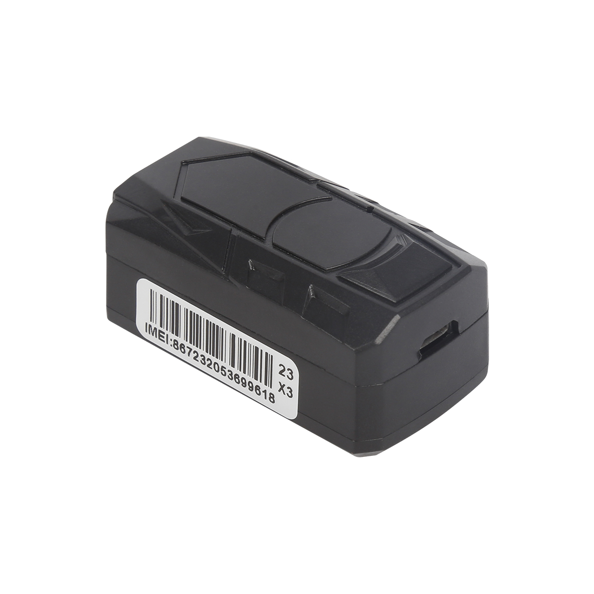
GF30 Magnet GPS tracker with Voice listen
Determination of ambiguity in GPS reference station network
What daily life can GPS vehicle positioning terminals be applied?
Last article:Handheld GPS navigation products will enter a period of rapid development.pet gps tracker cat wholes
Next article:GPS space and ground control
Related Information
simple gps tracking distributors
2023-04-23gps vehicle tracker distributors
2023-04-23Fleet management expert
2023-03-16real-time gps tracking wholesale
2023-04-23Magnetic gps tracker
2023-04-11Car gps tracking manufacturer
2023-04-23obd2 tracker wholesale
2023-03-16car gps tracker Production
2023-04-234G GPS Tracker manufacturer
2023-04-23gps vehicle tracker Production
2023-04-11NB20 -4G Bluetooth Smart Pet Tracker
2022-06-21G06L- 4G Car GPS Tracker
2022-09-06GF30 Magnet GPS tracker with Voice listen
2022-06-21G01 Smallest Personal Old People Mini GPS Tracker for Kids
2022-06-19TK08A Motorcycle GPS Tracker
2022-06-20GPS system architecture and analysis
2022-09-01Introduction to GPS Positioning Principles.car gps tracker manufacture
2023-04-19What are the components of GPS
2022-09-23GPS Fundamentals
2022-09-23GPS positioning system prospects
2023-06-02The GALILEO GPS system consists of 10 signals in four frequency bands.
2022-10-11Composition of GPS PXI acquisition equipment system
2022-11-11gps tracker GT03C
2022-09-21Review of GPS development in the past ten years
2022-12-20What is the GPS
2022-10-13Several principles for car navigation purchase.plug & play Obd gps tracker supplier
2023-04-08How to purchase GPS locators?
2023-02-21There are many types of GPS satellite receivers.GPS Tracker for vehicles manufacture
2023-08-26GPS Logistics Tracking and Monitoring Application Solution
2023-02-02Advantages of GPS technology
2022-10-22alger.qin@6gpstracker.com
 Phone: +8619874120903
 Tel: +86 755 2370 2092
 Skype: castel.alger
 Whatapp: +8619874120903
 Add: Fl 18, ZhilianJia Bldg, LongGang, Shenzhen
Copyright © Shenzhen Cantrack Technology Co., Ltd. All Rights Reserved. Sitemap NBONE SUPPORT


PRODUCT

ABOUT
SUPPORT
NEWS
CONTACT US
 Language


 EN
EN